 Catàleg local de Mallorca
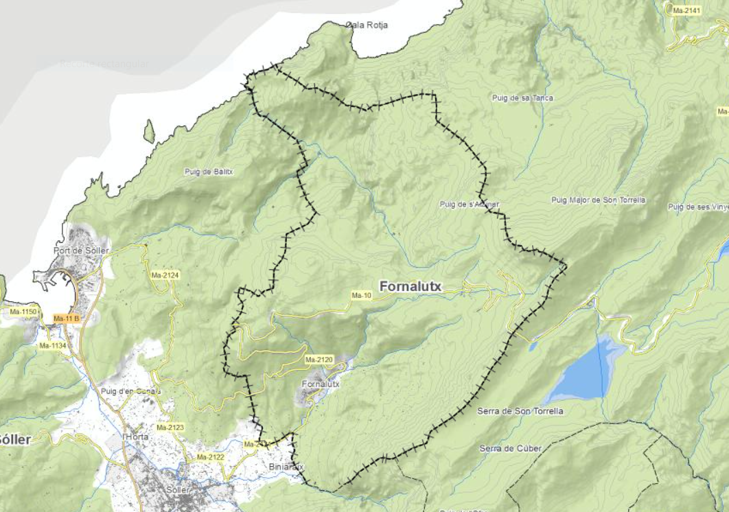
Ajuntament de Fornalutx
Type of resources
Available actions
Municipios
INSPIRE themes
Keywords
Contact for the resource
Provided by
Years
Formats
Representation types
Service types
Scale
-
Web Map Service that allows access to the cartography of the buildings of the municipality of Fornalutx. Cartography extracted from a layer of a layer of the Fornalutx urban regulations of 2006 of buildings to be protected. The service contains the general layer BU.Buildings contains the buildings of Fornalutx. The symbology associated with the layers is defined by the INSPIRE specifications. Access to this service is free as long as the Fornalutx City Council appears as the owner of the data and the Consell de Mallorca as the owner of the service. Scale 1: 5,000.
-

Web Map Service that allows access to the cartography of the names Protected Sites, Land Use and Transport networks. You can also check the characteristics of the texts. The associated style of layers is defined by the INSPIRE specifications. Access to this service is free provided that Fornalutx Town Hall appears as the owner of the data and Consell de Mallorca as the owner of the service.
-
Web Service of Maps that allows access to the cartography of the Subsidiary Rules of the rustic land of the municipality of Fornalutx of the year 2006. The service contains all the layers that make up the Subsidiary Rules: holm oak groves, road protection, catalog, equipment, general systems, qualification of rustic and urban. The associated symbology of the capes is defined by the Town Hall of Fornalutx following the symbology existing in the sealed pdf plans that are official. Access to this service is free whenever the Town Hall of Fornalutx appears as owner of the data and Consell de Mallorca as the owner of the service.
-
Web Map Service that allows access to the Cartography of Land Use. The service consists of three layers: Spatial plan, Zoning elements and Supplemental regulation. The data model and the symbology follow the specifications of the European INSPIRE Directive. Access to this service is free provided that the City of Fornalutx appears as the owner of the data and Consell de Mallorca as the owner of the service.
-
Web Map Service that allows access to the cartography of the addresses of the municipality of Fornalutx. Cartography extracted from the Cartociudad project. The service contains the general layer called AD.Addresses.025 contains the addresses of the urban center of Fornalutx and a few kilometers from the rustic area of the municipality. The symbolism associated with layers is defined by the INSPIRE specifications. Access to this service is free provided that Fornalutx Town Hall appears as the owner of the data and Consell de Mallorca as the owner of the service. Scale 1: 2,000.
-
Cartography of the toponymy of the municipality of Fornalutx. The names refer to the topics of the INSPIRE Directive Protected Places, Land use and Transport of Annex I of the INSPIRE Directive. Cartography generated in 2021. The sources are the Fornalutx Subsidiary Rules of 2006 for the names of Protected Places and Land use; the CartoCiudad project, version 2012, for the names of Transports. The names of the urban elements are on a scale of 1: 2,000 and the names of the elements of rustic, on a scale of 1: 5,000. Reference system: ETRS89. Projection system: UTM fus 31. Storage format: PostgreSQL.
-
Data set containing elements and areas protected by municipal legislation. The protection is provided by the Subsidiary Regulations of the municipality of Fornalutx in 2006. The Protected layer. Sites recognize all protected elements (deposits, mills, possessions, natural areas, etc.). Urban elements are digitized at 1: 1,000 scale and rustic elements, at 1: 5,000 scale. The reference system: ETRS89. Projection system: UTM fus 31. Storage format: PostgreSQL.
-
Data set containing the management areas of the municipality of Fornalutx. The cartography was taken from the subsidiary regulations of Fornalutx of 2006. The AM.ForestManagementArea layer is a polygon layer and contains managed, restricted, or regulated forest areas that follow the INSPIRE data model. Scale 1: 5,000. The reference system: ETRS89. Projection system: UTM zone 31. Storage format: PostgreSQL.
-
Web Map Service that allows you to access maps of the elements of sites protected by municipal regulations. The service contains the general layer called Protected. Sites where there are all protected elements. The symbolism associated with layers is defined by the INSPIRE specifications. Access to this service is free provided that the Council of Fornalutx appears as the owner of the data and Consell de Mallorca as the owner of the service. The protected areas of the urban zones are at 1: 2,000 scale and the elements of rustic areas are at 1: 5,000 scale.
-
Web Map Service according to the INSPIRE profile of ISO19128 WMS 1.3.0 that allows access to the cartography that represents the transport infrastructure network of Fornalutx, Mallorca, Balearic Islands Spain. The scale of representation is 1:5000 for the roads and 1:2000 for the streets. Geographic information belonging to the Inspire annex is shown: 1) Transport networks. The layers of information are in accordance with the INSPIRE Directive 2007/2/EC (name, title and style Inspire by default). The access or connection to this service, to obtain the functionalities is free in any case.